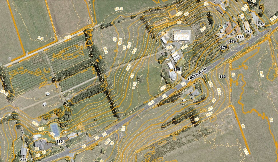
Kahikatea to Collins – Storm water drains, Green biodiversity
There are two town planning features that have aged well in Hamilton: the grid street pattern and the town belts on both the east and west. I am proposing a south town belt of a similar style, which links Melville / Mangakootukutuku through to Taitua Arboretum, and an area of grid patterned streets in the Kahikatea to Collins area.
There is no fixed time frame for including the Kahikatea to Collins area into the Hamilton city boundary. There is some comment in the Council meeting agenda (28 Nov 23*) on boundary extensions in relation to the Southern Links project (p.193*), which also states that ‘no substantial growth is forecast in Temple View due to limitations associated with infrastructure’ (p.193*). In the Economic Development committee (14 Nov 23) councillors were told ‘Manufacturers continue to advocate for more industrial zoned land as an enabler of growth’ (p.84**). So for zoning the Kahikatea to Collins area I have shown the area for Southern Links and nominated land that could be zoned industrial.
Koromatua area – the Temple View area is being / has been reinvented over the last decade. It could be expected that the leadership that chooses the new style of development would continue this into the Koromatua catchment below the Temple. But it would be nice to allow the lone tree to survive and have more trees around it.

None flat areas (hilly) – these already have developments on them, and are not blank slates like the Waitawhiriwhiri area, but they do need to link into surrounding areas. People will have opinions on how this is done, just as they would on good art that not everyone likes.
Waitawhiriwhiri flat area - This is where we can increase the number of grid street blocks. The planning for these should be like the start of a chess game, where the checkerboard blocks are the same, but the chess pieces are different, then once the game starts (i.e., the blocks are built on) their use and style must be allowed to change as fashion and market forces change. It is important to place a grandfathering rule on these blocks so that rules cannot be placed on them to restrict growth and change.


Hello John – it is disappointing the small strip of properties between Pembroke St and Hamilton West school was privatised, In the 1910s Hamilton’s Domain board tried very hard to protect the belt.
“Our first duty is to realise that every inch of our domain lands has been set aside “for recreation purposes,” and nothing else. ... When the late Commissioner of Crown Lands held his enquiry in Hamilton he spoke of these lands as “the glorious heritage of future generations.” It is the sole function of a domain board to preserve and develop this “glorious heritage,” and to see that the people of future generations shall not be robbed of their air spaces, gardens and playgrounds. We, as a domain board have nothing whatever to do with education, religion or commercial undertakings, and we have no right to use the grounds or property entrusted to us for any of these purposes’
Domain board versus Hamilton high school bill - Waikato Argus, Volume XXXIV, Issue 5361, 17 July 1913
The 1927 Hamilton map (https://heritage.hamiltonlibraries.co.nz/objects/23732/hamilton-borough) shows most of the southern green belt still existed then. It was taken over and partly developed by Hamilton West School after it moved from what is now WINTEC, about 1940.