


Kahikatea to Collins land for green biodiversity

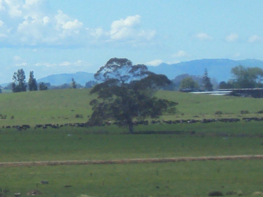
To a consumer of dairy products, the area between Kahikatea Drive and Collins Rd does not look like a example of sustainable land use. There has been total removal all original vegetation and nothing that a lay person could call a riparian strip alongside the drains. The Waitawhiriwhiri stream’s measured water quality at its outlet is in the ‘worst 25% of all sites*’ measured and the word ‘degrading*’ is used to explain where it is trending. See - * ‘Waitawhiriwhiri Stream water quality site at Edgecumbe Street’.
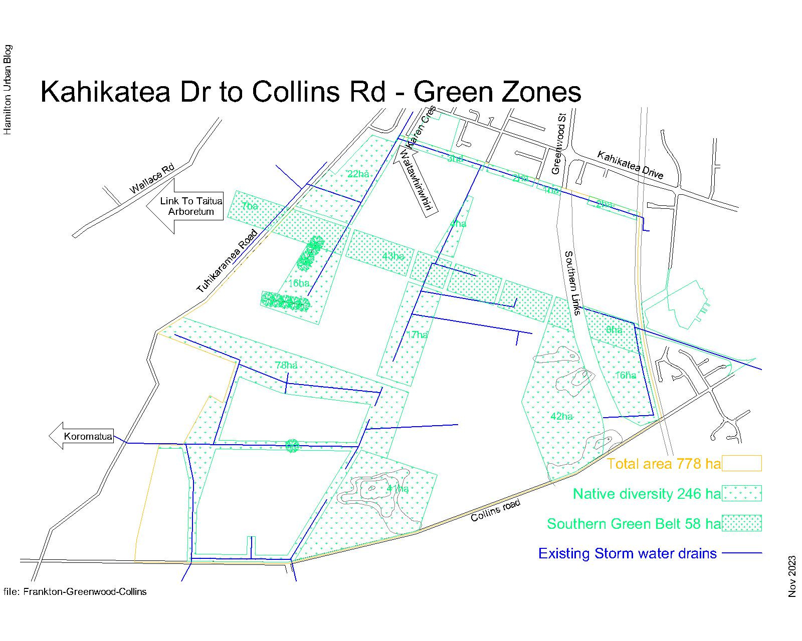
Hamilton’s ‘Nature in the city’ goal is to restore Hamilton’s native vegetation cover from less than 2% to 3% [330 hectares] by 2031 and 10% [1,100 hectares] by 2050. Of Hamilton / Kirikiriroa’s 11,000 hectares, only 168 hectares is covered by native vegetation. The Kahikatea to Collins area covers 778 hectares. If this land becomes part of Hamilton and we are serious about reaching the goal of 3% by 2031, the city should plan to use not less than 162 hectares of this area for restoration. I am suggesting there could be more land set aside for potential restoration to get ahead of Hamilton’s ‘Nature in the City’ goal.
How do we measure restored land? ‘The minimum size for an area of this level of significance is 0.5 hectares of contiguous vegetation. The minimum width of the feature, at any one point, must be no less than 50 metres’ (2012 Whangarei Biodiversity Strategy p.62).
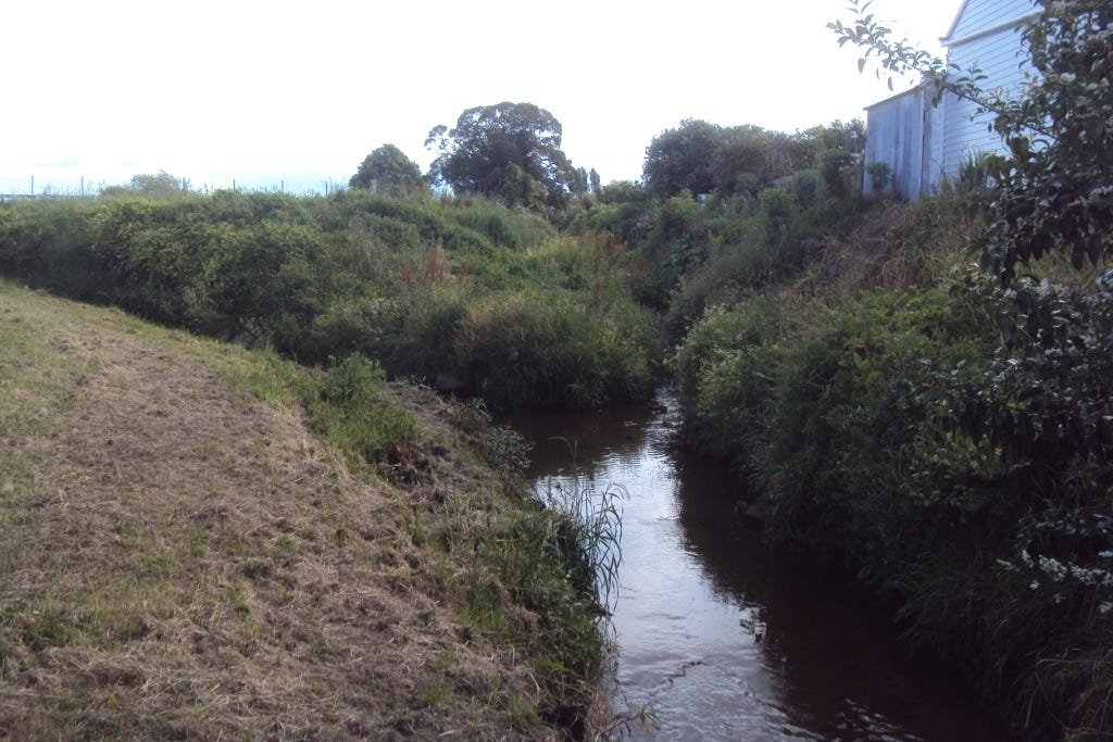
Returning to the subject of sustainable land use, presently there is a measure of water quality in the Waitawhiriwhiri stream at its outlet, which shows water quality trending down. It is easy to assume the existing land use is part of the cause of the downward trend in water quality, but before we do this the Council needs a benchmark measure of water quality at the existing boundary by Karen Cres so that the branding of the product coming off this land is based on measurable facts.